

Faculty: Faculty of Engineering
Department: Petroleum and Mining Engineering
Department: Petroleum and Mining Engineering
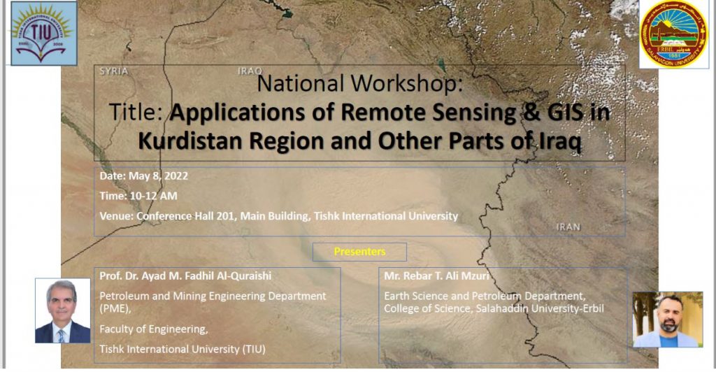
Type of the workshop: National Workshop
The workshop in brief: Remote sensing (RS) and Geographical Information Systems (GIS) can play an essential role in monitoring the changes in land cover and land use (LCLU) status. Iraq has suffered several problems in the last decades in various sectors, which highly negatively impacted the daily life of the Iraqi people. This national workshop aims to highlight the vital role of RS and GIS in assessing, monitoring, and mapping the changes in the LCLU in Iraq, those that occurred by the influence of natural and human factors. The objectives were to show, especially the effect of environmental changes on the land of Iraq and Kurdistan Region.
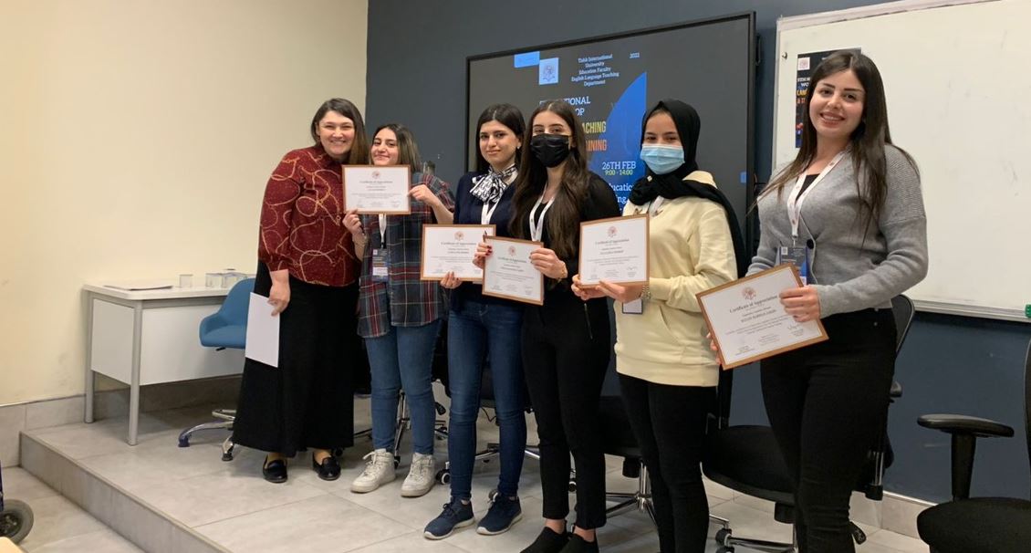
Participants: 25 TIU staff joined the workshop in campus
Date and time: May 8th 2022
Place: TIU, Room 201 (main building)
Place: TIU, Room 201 (main building)
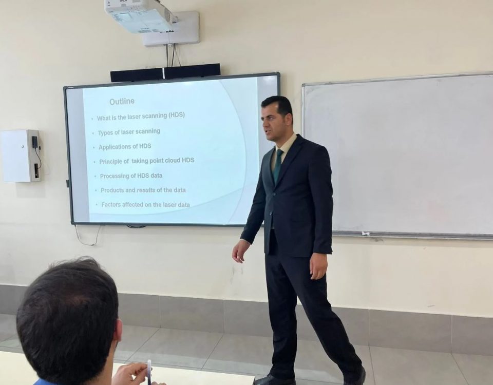
Session topics:
Two sessions,
the first was the environmental impacts from satellite images for all Iraqi territories, while
the second was about the green cover of Erbil City area using Satellite images.
Presenters names and affiliations:
1- Prof. Dr. Ayad M. Fadhil Al-Quraishi Petroleum and Mining Engineering Department, Tishk International University, Kurdistan Region, Iraq Email: ayad.alquraishi@tiu.edu.iq
2- Mr. Rebar T. Ali Mzuri Department of Geology, College of Science, Salahaddin University, Erbil, Kurdistan Region, Iraq Email: rebar.ali@su.edu.krd
Outcome of the workshop:
Participants learned how the satellite images and GIS data is analyzed to give valuable information for the Earth land use in both Iraq as a whole and in Erbil city as an example.